Services

Monitoring and evaluation of policies and programmes

We combine fieldwork, statistics, econometrics and qualitative analysis to assess the effectiveness and efficiency of public policies. We believe sound monitoring and evaluation keeps resources focused where they matter most: on decision-making.

Selected team experience:

  • IFAD country strategy and programme evaluations in Colombia, the Dominican Republic and Argentina, and a subregional evaluation in Central America's Dry Corridor.
  • Impact evaluation of the Ministry of Culture's Mobile Public Libraries programme.
  • Impact of the COVID-19 pandemic on Colombian firms, for ANDI and the ILO.
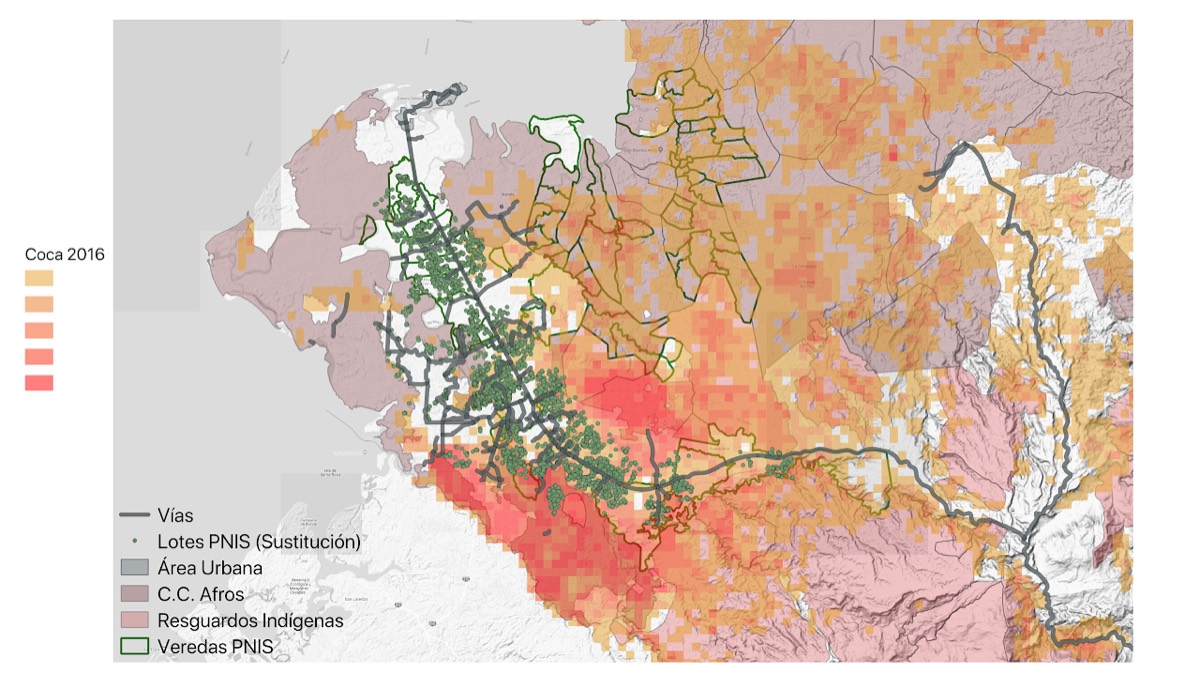
Wooden suspension bridge over a river, surrounded by vegetation

Geographic analysis, remote sensing and territorial characterisation

Our geographic analysis techniques provide up-to-date information about territories at the municipal and vereda level. We combine geographic information with field data and administrative records to understand where and how programmes operate.

Remote sensing and satellite imagery

We use satellite imagery and global geographic datasets (population, tree cover and deforestation, travel times, elevation, vegetation indices such as NDVI, and weather) to produce local statistics where official data is scarce, out of date or only available at the municipal level.

  • Statistics for small or custom units: veredas, groups of municipalities or ecozones that don't match administrative boundaries.
  • Time series to target and evaluate programmes, for example changes in tree cover or vegetation (NDVI) at intervention sites compared with control sites.
  • A dataset of variables for Colombia's more than 33,000 veredas: coca crops, illegal mining, deforestation, substitution payments, forced eradication and the agricultural census.

In the evaluation of IFAD's strategy in Central America's Dry Corridor, we used these sources to check whether resources had been concentrated in the municipalities that needed them most.

Download our presentation Towards a global GIS-based M&E system for development projects (PDF, 2.9 MB).

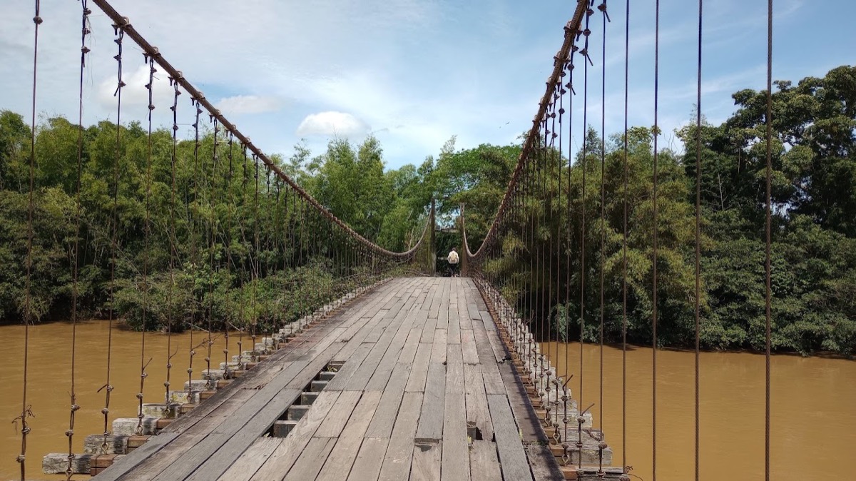
Map of 2016 coca crops with PNIS plots and veredas, roads, urban areas, Indigenous reserves and Afro-Colombian community councils
Coca crops (2016), PNIS plots and veredas, Indigenous reserves and Afro-Colombian community councils. Map legend in Spanish.

Rural and territorial development

We evaluate policies that are transforming rural Colombia: illicit crop substitution, rural land formalisation and agricultural development.

Selected team experience:

  • Advisory services to Bogotá's District Planning Secretariat on sustainable rural productive development (Rural Public Policy).
  • Monitoring and evaluation of land formalisation in PDET municipalities (USAID's Land for Prosperity / Nuestra Tierra Próspera programme).
  • Results evaluation of the National Comprehensive Programme for the Substitution of Illicit Crops (PNIS).
  • Research on the effects of PNIS published in the Journal of Public Economics.

Have a project in mind? Get in touch